
Language:
Español
Fichas técnicas:
GOES
NOAA:
12 14 15
16 17 18
Meteor 3-5
Resurs O1-N4
Feng-Yun:
1 2
Image archive
By satellite
By date
Other information:
Links
Legend
Archive
Bibliography
QFH Antenna
Preamplifier
Wallpapers
Where are we?
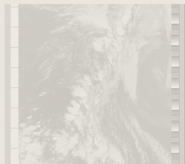
Each satellite measures about 2 meters diameter, and, with its solar panels extended, reaches 27 meters width. They weigh around 2200 kg. The main task, apart from acquisition of imagery, is to retransmit information of several ground stations around the world, and, as a bonus, they contain a monitoring and triangulation system for the international emergency frequencies.

| Satellite | Launch | NASA ID | Intl ID | Posit | WEFAX | Status |
| GOES 6 | 1983-04-28 | 14050 | 1983-041A | 131.13W | 1691 | Partial |
| GOES 7 | 1987-02-26 | 17561 | 1987-022A | 166.16W | - | Partial |
| GOES 8 | 1994-04-13 20:04 UT | 23051 | 1994-022A | 75.33W | 1691 | Active |
| GOES 9 | 1995-05-23 05:52 UT | 23581 | 1995-025A | 220.00W | 1691 | Storage |
| GOES 10 | 1997-04-25 | 24786 | 1997-019A | 134.50W | 1691 | Active |
| GOES 11 | 2000-05-03 07:07 UT | 26352 | 2000-022A | 112.83W | 1691 | Storage |
| GOES 12 | 2001-07-23 07:23 UT | 26871 | 2001-031A | 100.56W | 1691 | Testing |