
Language:
Español
Fichas técnicas:
GOES
NOAA:
12 14 15
16 17 18
Meteor 3-5
Resurs O1-N4
Feng-Yun:
1 2
Image archive
NOAA
12 15 17 18
By date
Other information:
Problems/FAQ
Links
Legend
Archive
Bibliography
QFH Antenna
Preamplifier
Wallpapers
Where are we?
| hvc | False color image, derived by making a combination of the visible and infrared channels of the NOAA satellites. Image color represents temperature - not representative of real 'earth color' |
| ir | Infrared: This is a direct channel of the NOAA satellites, which is always present, unlike the other channel, which switches from visible to another infrared band during day/night |
| mcir | Map Color IR: If visible light is not available, MCIR uses an internal map in the decoding software to distinguish between continent and water, and still be able to render a color image. The other information is taken only from the IR channel |
| msa | Multispectral analysis, sophisticated name to refer to yet another channel combination method (like HVC) which uses both NOAA channels to render a false color image. |
| mb | Indicates probability of thunder storms. Areas of low-temperature clouds are enhanced to mark possible strong storms. |
| no | Infrared, but extreme low temperature are rendered in strong colors. I particularly like this mode, as it indicates possible areas of dangerously active cloud formations better than any other mode. Black, and even worse - white areas, are at -60 C or less indicating very strong possibility of hail and other problems. |
| vis | Visible range. These pictures are logically only available during daytime imagery. |
| za | Infrared, with non-linear representation, enhancing the temperature differences in cloud formations. This permits finding the storm centers. |
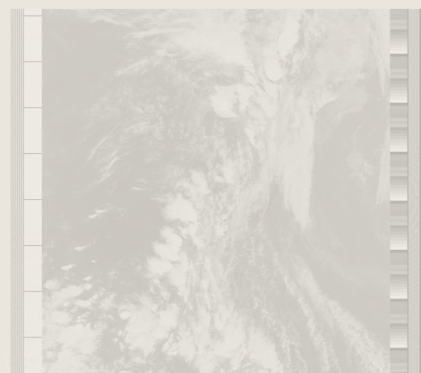
From where I live, I rarely have the opportunity to obtain two passes of sufficient quality to merit the combination into a mosaic. Still, when it does happen, the result is normally worth the extra download time!